

The San Diego Association of Governments (SANDAG) initiated the development of a Comprehensive Multimodal Corridor Plan (CMCP) for the Purple Line, a 30-mile regional transit corridor along I-5 and I-805 freeways. Mobycon, in collaboration with HNTB, focused on active transportation components, identifying gaps, deficiencies, and opportunities, and developing best practice solutions and hypothetical active travel networks for 14 mobility hubs in the study area, aiming to improve connectivity through active modes and last-mile connections to transit.
The San Diego Association of Governments (SANDAG) initiated the development of a Comprehensive Multimodal Corridor Plan (CMCP), evaluating the transportation components for the Purple Line – a regional transit corridor spanning approximately 30 miles (48 km) along the I-5 and I-805 freeways. Mobycon, working as a subconsultant to HNTB, was retained to provide expertise on the active transportation components of the CMCP. Mobycon’s efforts included the identification of gaps, deficiencies, and opportunities in existing documents and the provision of best practice policies, programs, and street typologies.
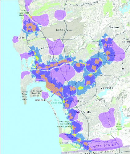
With an understanding of the various Active Travel (AT) networks and their connection to those in neighbouring jurisdictions, Mobycon provided best practice solutions that fit within the local context, leading to the development of hypothetical AT networks for 14 mobility hubs within the study area. Using ArcGIS software, Mobycon’s knowledge of AT network planning principles and cycle facility selection tool, cycling network recommendations were developed for the corridor and Mobility Hubs to connect the region through active modes and last-mile connections to transit.